 ARROW4D®
A new concept ofsustainable engineering and technology
ARROW4D - Consultores de Engenharia e Geofísica, LDA® is the institutional brand bringing together GEOTREVO®, NIOTANTEK®, NEUTRA-IO® and GEORENTAL® in one business ecosystem.
One institutional brand. Four specialized businesses.
Founded on 5 March 2018 and headquartered in Évora, ARROW4D® acts as the anchor entity for four distinct businesses (GEOTREVO®, NIOTANTEK®, NEUTRA-IO® and GEORENTAL®), giving context, trust and direction to clients, partners and institutions.
- Founded
- 2018
- Headquarters
- Évora (Portugal | Europe)
- Business areas
- 4
- Portugal
- Spain
- Morocco
- Mozambique
- Italy
- United States
- Canada

Engineering, GIS and remote sensing services
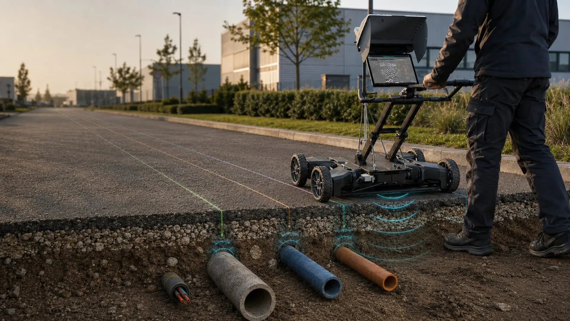
We survey, map and investigate the ground, from the surface to the subsurface. We combine high-resolution precision surveying, remote sensing and non-intrusive geophysical prospection to give civil engineering, geology, geotechnics, infrastructure and environmental projects a reliable data base before moving into the unknown.
- Topographic surveys
- Geophysical and geotechnical studies
- Remote sensing and mapping
- Engineering consultancy
- Buried utility detection with GPR
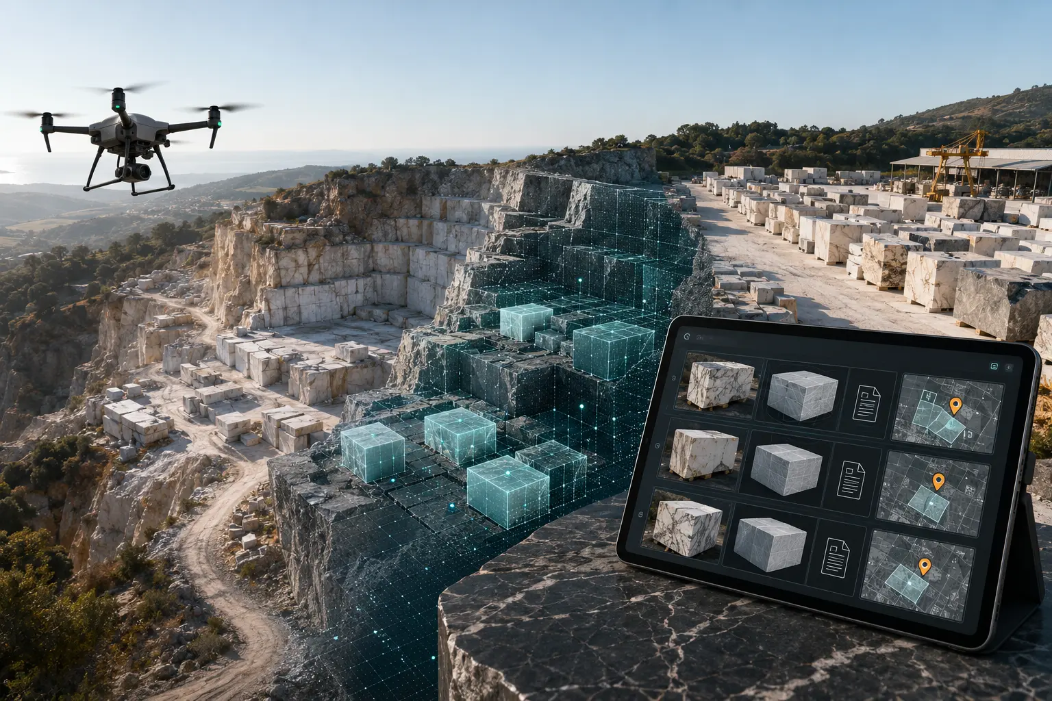
- Drone surveys of mines and quarries
- Electrical resistivity tomography
- Digital terrain models and contour lines
Cloud 3D mapping and digitisation platform
Digital platform and services for acquiring, processing and sharing 3D models and 2D maps in the cloud.
- 3D data acquisition
- Drone or phone capture
- Point clouds and digital models
- WebGIS and WebBIM visualisation
- REST API for internal systems
- Integration with QGIS, ArcGIS, Revit and Archicad
- Organised by project, location and date
- Digital catalogue with shareable 3D models
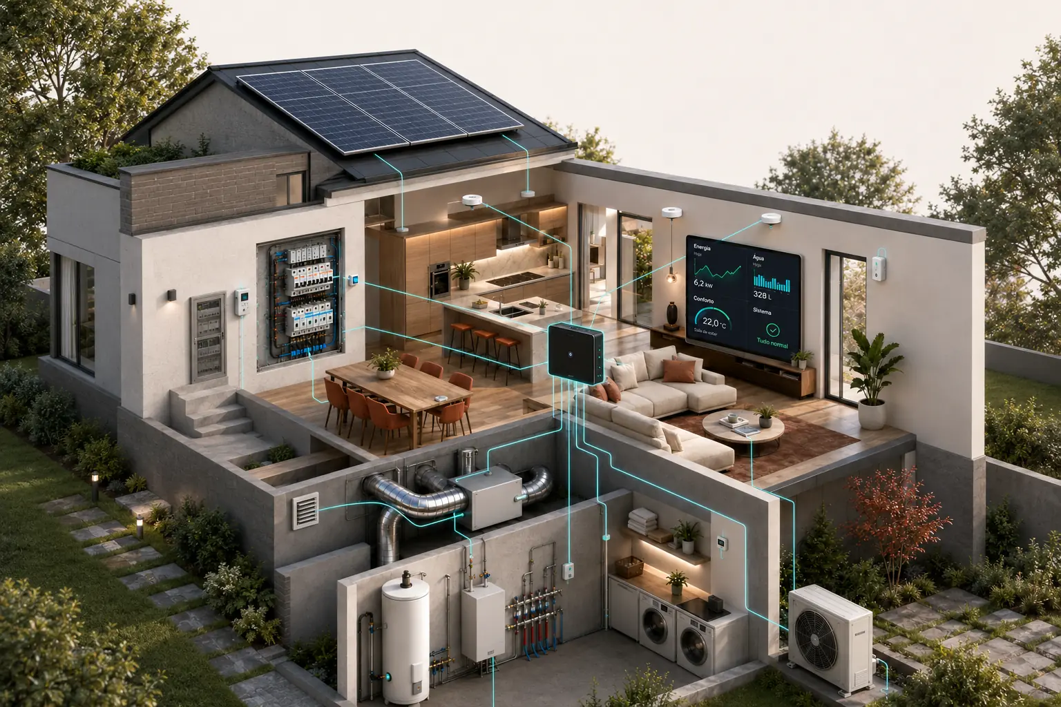

Digital system for monitoring and controlling technical networks
Digital solutions for real-time monitoring, analysis and control of technical networks.
- Continuous data acquisition
- Monitoring dashboards
- Alerts and diagnostics
- Integration with existing systems
- Water, gas, electricity, compressed air or steam networks
- Components from established market brands
- ISO 50001 certification
- Automated ESG reporting
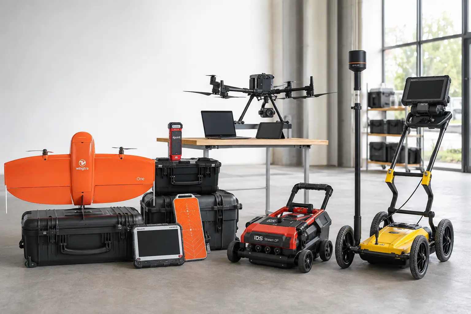

Geophysical equipment and UAV rental, plus a pilot pool
A platform for geophysical equipment rental, data post-processing and on-demand access to a nationwide network of certified pilots.
- Hands-on drone and GPR training
- Immediate availability nationwide
- Portugal's largest network of certified UAV pilots
- NioMap software for UAV data processing
- Rental of GPR, resistivity meters, seismographs, magnetometers, GNSS and UAV
- Remote consultancy for geophysical data post-processing via the GeoConsulting portal
Tell us about your project.
Send us a message and our team will get back to you.